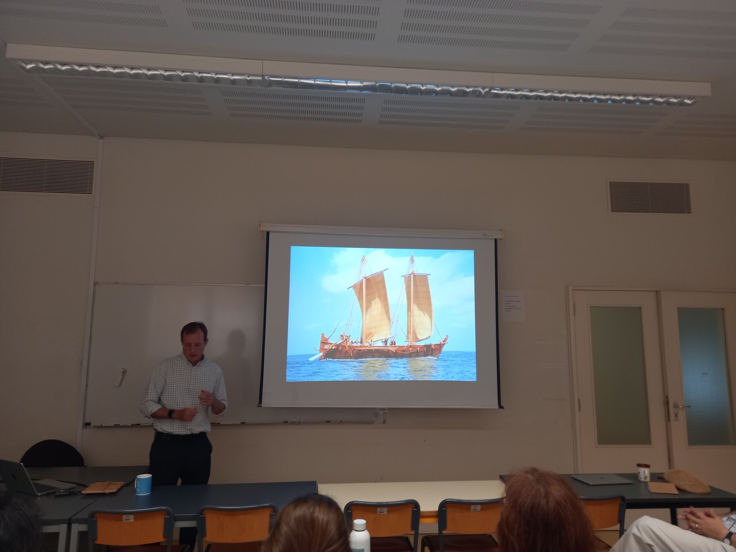
Rutter Seminars
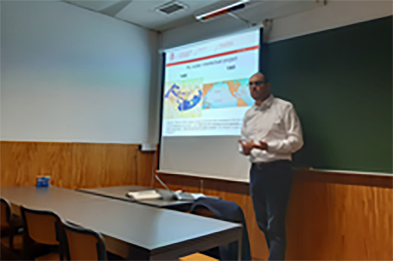
Experimenting with the Past: Adventures in Maritime Archeology around the Indian Ocean
Eric Staples – 7 June 2024
This talk gave an insider’s perspective, reflections and prospects on decades of projects crossing maritime archeology and history, including the know-how of a life-long sailing experience around the Arabian Peninsula, the Persian Gulf, the Indian Ocean and other oceans. It touched on matters such as practical astronomy and nautical terminology in Arabic and other Asian languages.
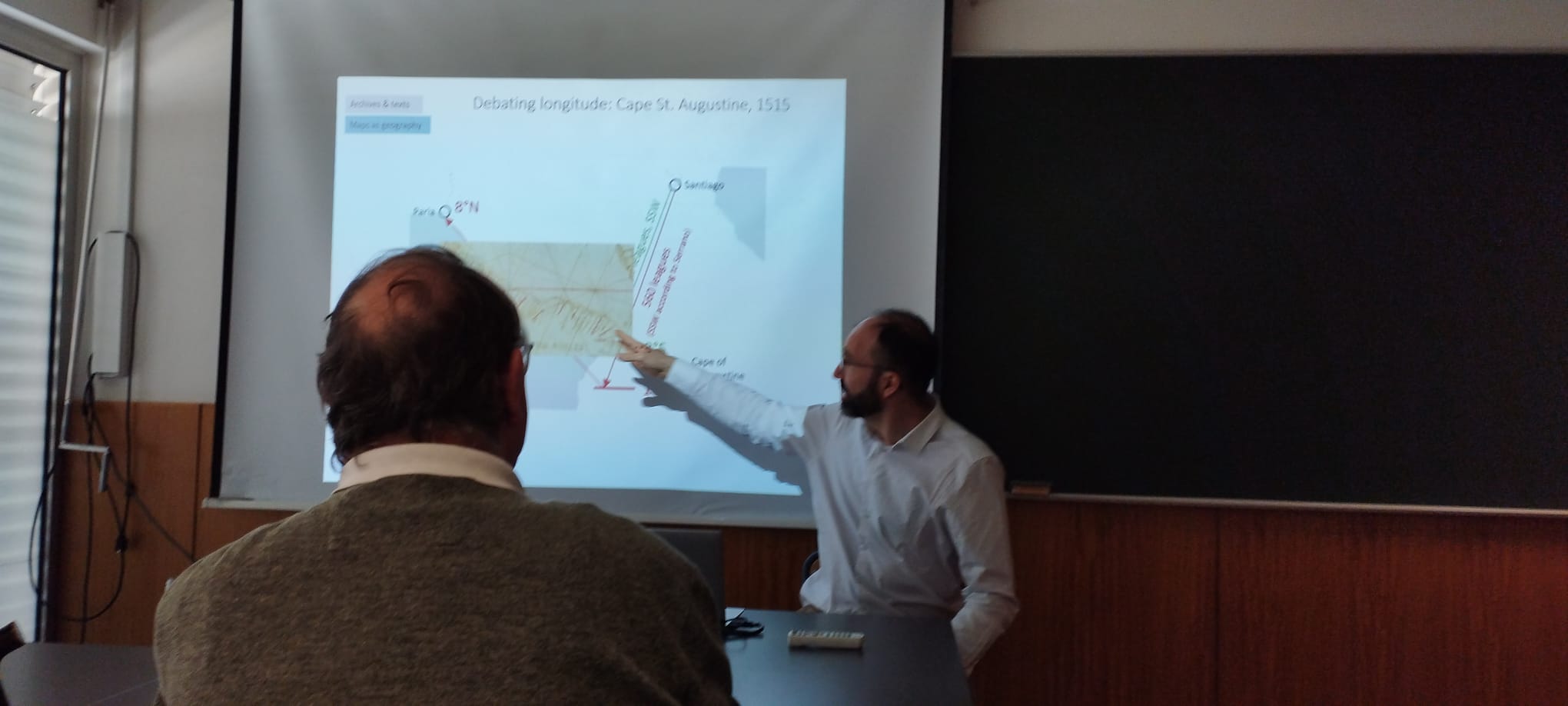
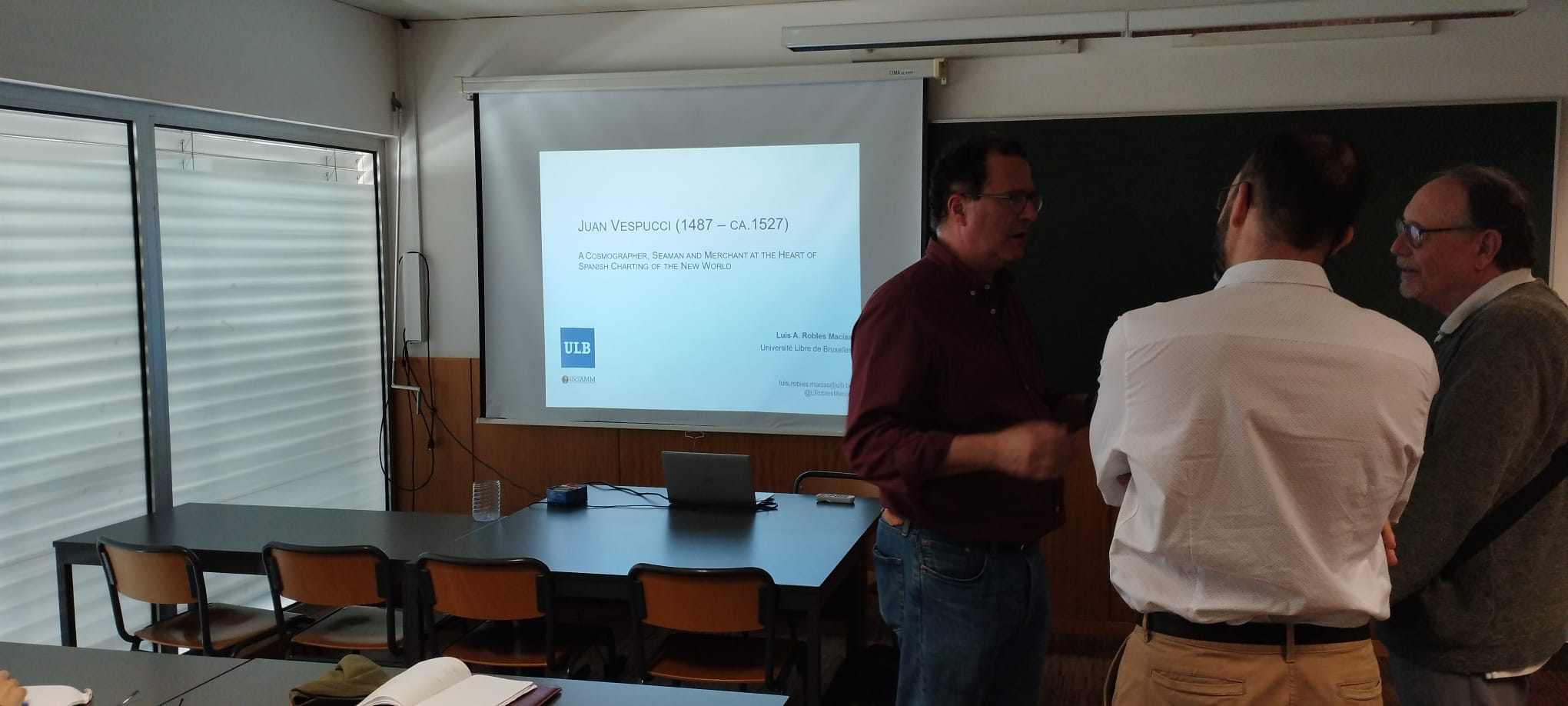
Juan Vespucci (1487 – ca. 1527) A Cosmographer, Seaman and Merchant at the Heart of Spanish Charting of the New World
Luis Robles – 20 May 2024
Juan Vespucci (Florence, 1487–c.1527) was a pilot at the Casa de la Contratación of Seville, a merchant and the author of several extant maps. Unlike his uncle Amerigo, he has been little studied. My PhD thesis links the facets of Juan Vespucci’s life to show how they illuminate each other and how together they provide new perspectives on key contemporary developments. Archival research has yielded novel data about Juan Vespucci’s relatives, his emigration to Seville and the influences he received. Appointed royal pilot in 1512, it has now come to light that Vespucci was also naturalized Castilian that year. After taking part in a major transatlantic expedition, in 1515 he testified at an inquiry into the latitude of Cape St Augustine that is shown to relate in fact to the problem of the longitude of the meridian of Tordesillas, like the Junta of Badajoz-Elvas which Vespucci also attended. Mining the Junta’s acts has revealed unreported maps and globes as well as insights into how cosmographers interacted with these objects. Light has also been shed on how Vespucci managed geographical information at the Casa. In 1525, Vespucci was fired. Earlier historians had blamed this on Vespucci being a spy, but my research has refuted this claim. Refusing to join an expedition to the Moluccas was the probable cause of his dismissal. Vespucci’s merchant activities have been reconstructed in detail, revealing he made a trip to Italy already in 1522. This explains why his polar maps were published in Italy and why it was not him who drew the first map with data brought by Elcano. The chronology of Vespucci’s expedition to Cubagua clarifies puzzling aspects of his planisphere, and the details of his subsequent trip to New Spain suggest he died in it. Moving the gaze to Vespucci’s printed polar maps, their chronology has been established and their likely manuscript precursor identified. More broadly, polar azimuthal maps are found to have been mentioned in Iberian documents since the 1490s and viewed as an alternative to nautical-style planispheres. Vespucci’s nautical-style maps have been studied by chemical analysis, toponym transcription and the systematic comparison of their geography and decoration with the entire corpus of nautical-style charts. Attempting to determine to which toponymic tradition Vespucci’s charts were closest to has led to the unexpected discovery of a fourth tradition to which all Castilian and Portuguese mapmakers adhered. Toponyms and images, together with the reconstruction of Vespucci’s whereabouts, have eventually been leveraged to discuss his alleged authorship of several unsigned charts. In conclusion, reconstructing Juan Vespucci’s life and work has raised fresh questions about the events in which he was involved and led to unexpected findings on Renaissance cartography, thereby showing the virtues of the “biographical turn” in historical studies.
God in the map: geography, education, religion, artisanal knowledge
David Salomoni – 18 October 2023
The presentation explores a new reading of cartography as a result of artisanal knowledge in the light of the transformations occurring in education, religion, and art during the 16th century.
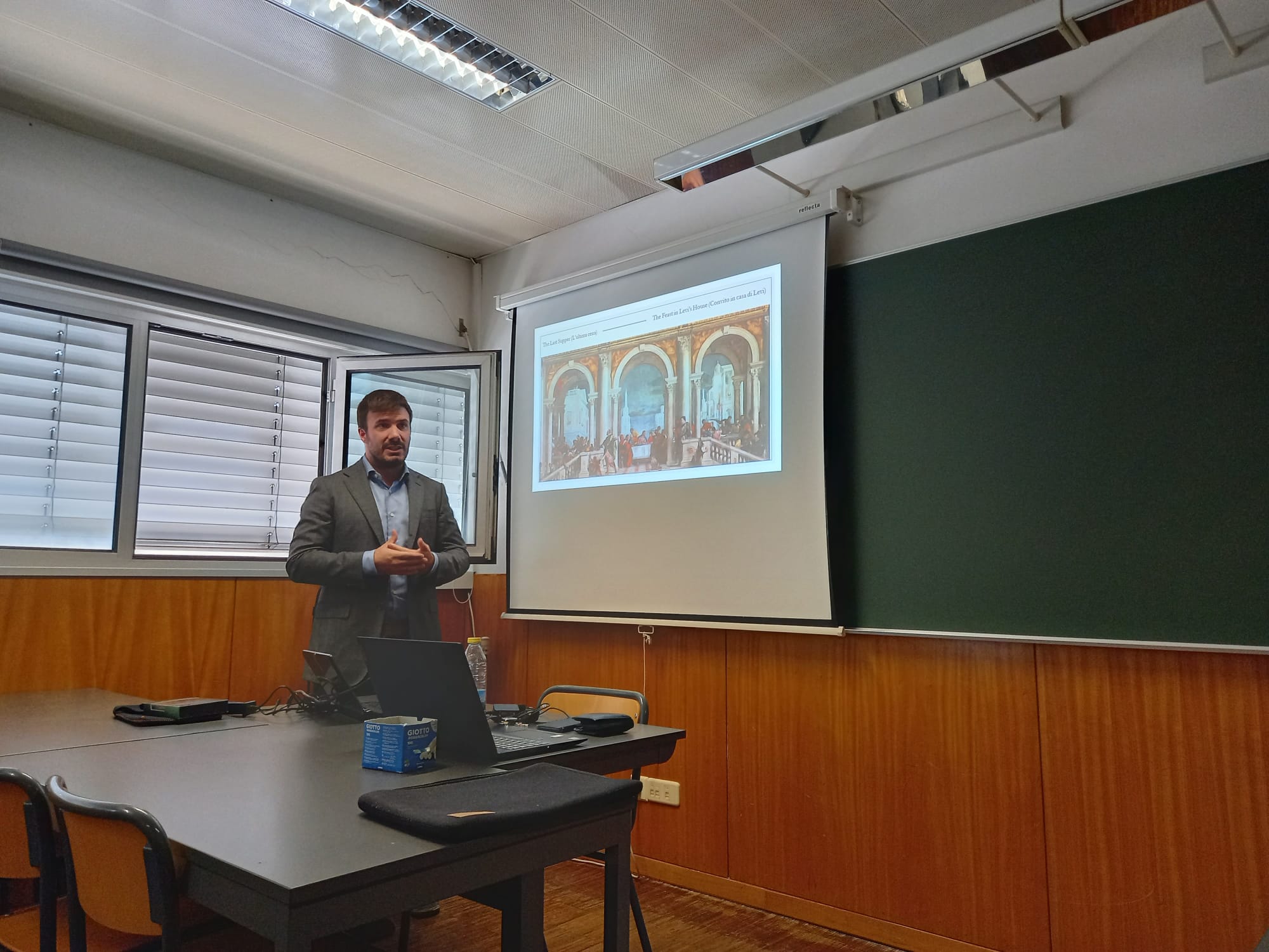
Cartography, Art and Power in the Late Renaissance: the case of the Farnese Palace in Caprarola
Alessandro Ricci – 29 May 2023
The seminar will focus the attention on how the Reformation and Counter-Reformation adapted their cartographic models during the Modern age. In particular, the maps and the explorers depicted in the Room of Cosmography in the Palazzo Farnese in Caprarola will be analysed. The Room is indeed considered as an extraordinary example of confluence between cartography, power and art within the geopolitical dynamics of the Late Renaissance, from the catholic perspective of the Cardinal Alessandro Farnese. It has been also intended as a source of inspiration for the best known “Galleria delle Carte Geografiche” in Vatican, as well as an example of catholic cartographic representation, for its highly religious symbolic references.
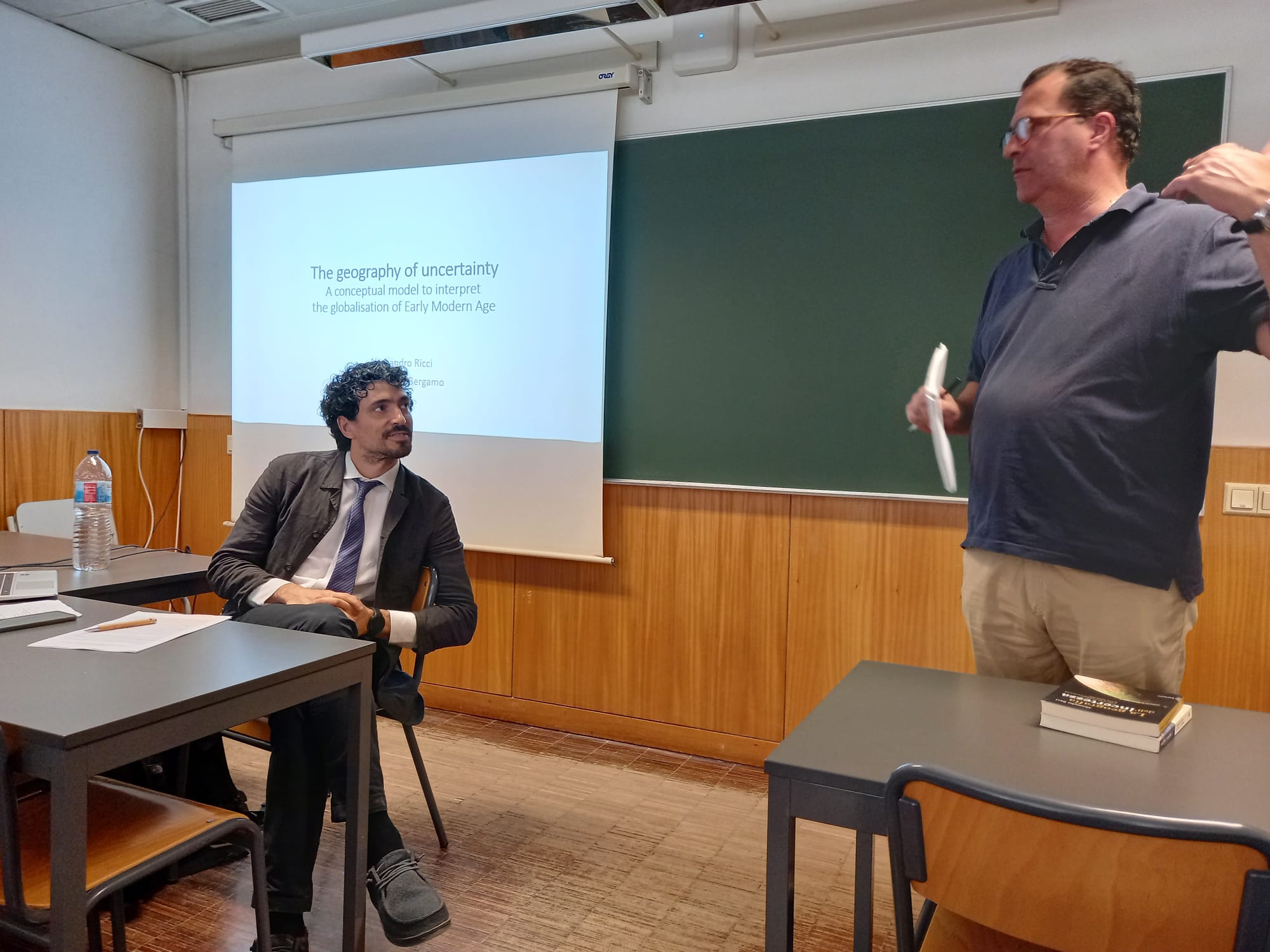
The geography of uncertainty: a conceptual model to interpret the globalisation of early modern age
Alessandro Ricci – 10 May 2023
The seminar will be focused on the Geography of Uncertainty as a paradigm of modern globalisation. Uncertainty is considered as a key-word of modern times from a sociological point of view, but the reflection proposed is about the emergence of this topic from a geographical perspective, as it emerged during the Early modern age in correspondence of the Early globalisation. In particular, the paradoxes of the acquisition of scientific and geographical certainties, possible thanks to the great voyages of exploration, and the entry into the domain of existential and interpretative uncertainty that characterizes Modernity and globalisation, will emerge, with a specific focus on the contradictions of modern cartographic representations.

El Nuevo Mundo y la Tecnologia Moderna – Sorpresa y transformación de hombres, artefactos y lugares
Mariano Arturo Gutierrez – 19 April 2023
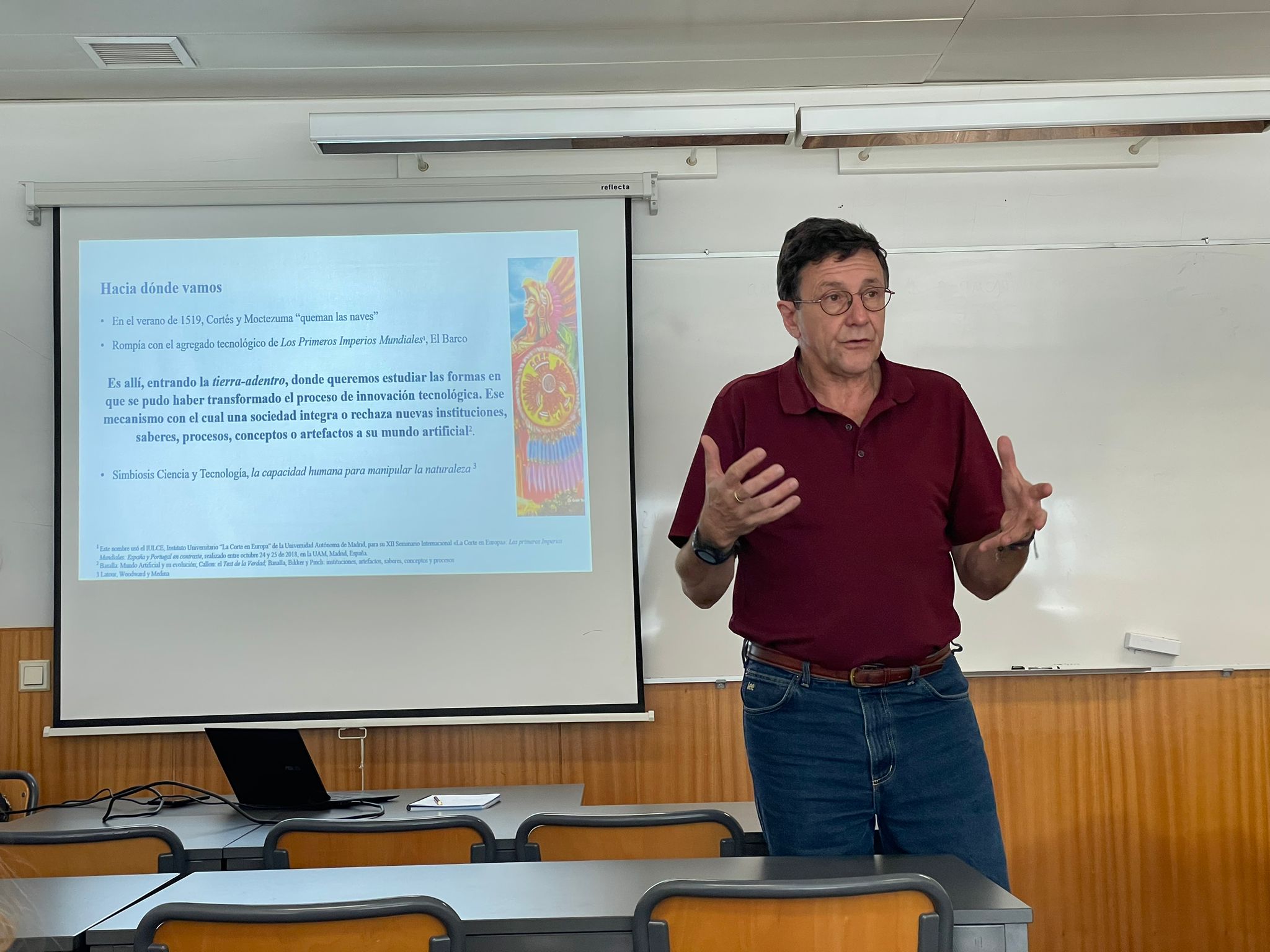
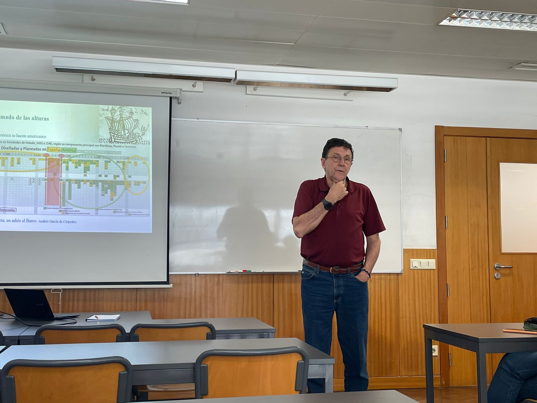
Como herencia de la Leyenda Negra y como sostienen entre otros Katherine Park y Lorraine Daston, fuera de las aulas de clase se sigue pensando que el salto a la Ciencia Moderna es producto de algunas pocas mentes brillantes que iluminaron la Modernidad desde la Europa protestante, central y del norte, en los siglos XVII y XVIII. Surge sin embargo, desde hace unas cuatro o cinco décadas, toda una nueva corriente de historiadores, filósofos y sociólogos de la ciencia y la tecnología que entienden esta transición más como un proceso que como un momento mágico de revelación. Esta llamada Temprana Modernidad va descubriendo cómo, en realidad, aquella transición comienza dos siglos antes y precisamente en torno a un proceso eminentemente católico, el surgimiento de los primeros imperios globales de la historia, los imperios portugués y español. Así, más que el telescopio de Galileo, el actor tecnológico sería aquí el complejo agregado de artefactos, procesos, saberes e instituciones que fueron surgiendo y se fueron afinando en torno al barco transoceánico, y es sobre la navegación y la cartografía ibéricas que surgen efectivamente las primeras llamadas ciencias modernas. La cuna sería entonces el conjunto de los primeros centros de conocimiento, instituciones como el Armazém da Guiné o la Casa de Contratación de Sevilla, que se fueron gestando en las cortes de Portugal y España y que, en efecto, se harían luego modelos para las potencias imperiales de la segunda ola, como estudian entre otros Cañizares, Barrera, Eamon y Elliott. La propuesta que hacemos entonces en este seminario consiste específicamente en ampliar aún más la visión, y dejar entrar a otros actores que pudieran haber también participado en esta transformación temprana. Se trata, por ejemplo, de ver si tuvieron agencia personajes que pudiéramos llamar artesanos del conocimiento experimental, como Balboa, Cortés o Quesada, o actores artificiales menos impresionantes que el telescopio o el barco, como podrían ser el pan o un camino para subir a los Andes. Pero aún más, proponemos identificar también si llegaron a tener alguna agencia real personajes que no fueran ya europeos, como los Xicoténcatl, Atahualpa, Bogotá o el cacique Ponca del Darién, e incluso actores anónimos como los comerciantes de sal del Valle de los Alcázares o las tribus Caribe, aquellos feroces guerreros que usaban flechas con hierva muy mala é inremedíable; é si hay remedio, los chripstianos no le saben.
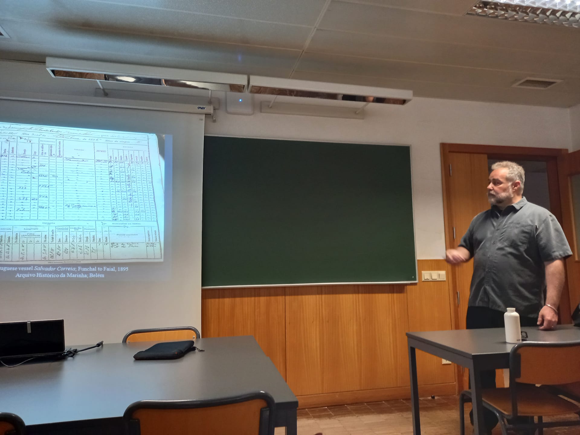
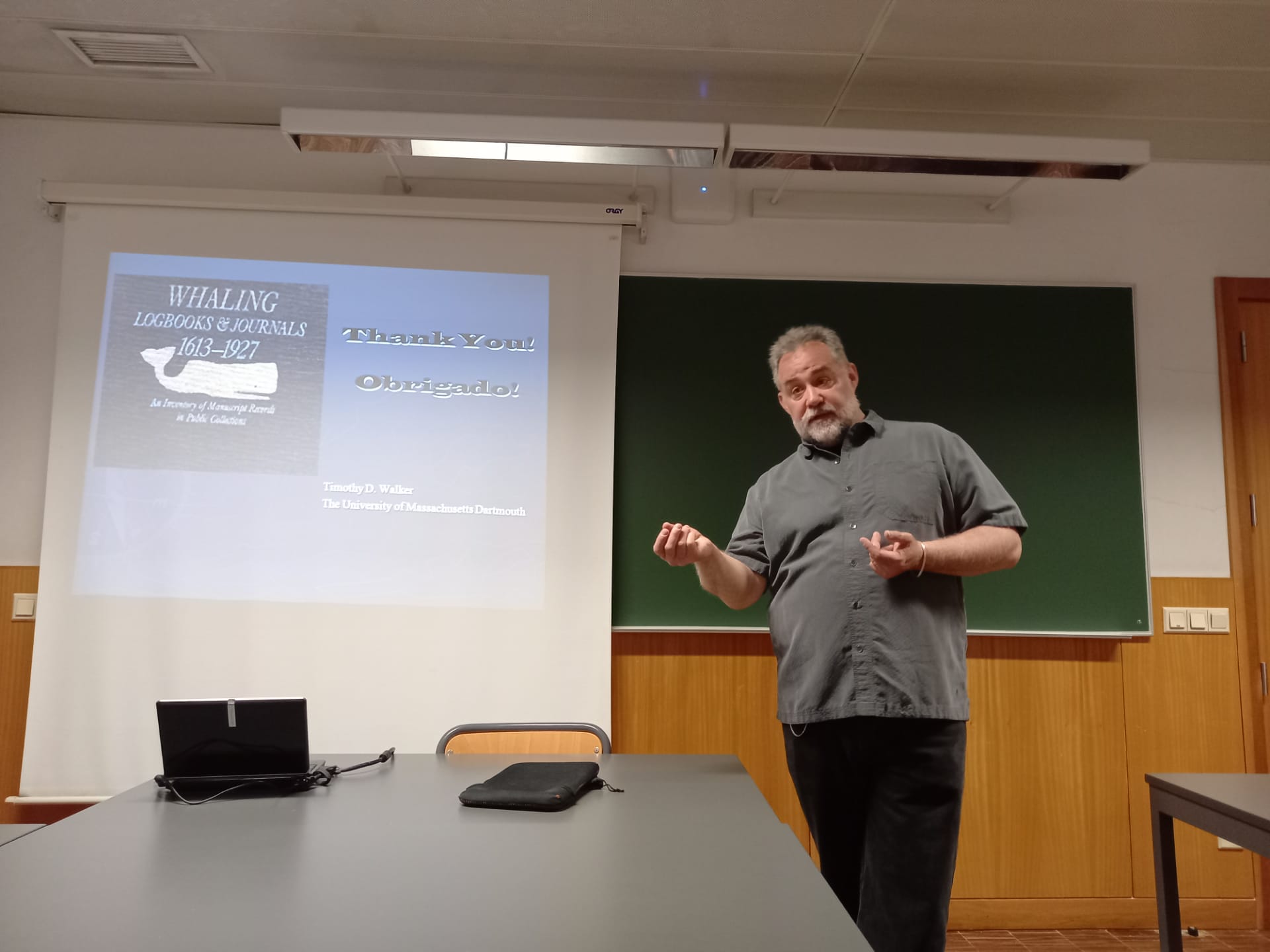
Assessing Historic Oceanic Climate Conditions Using American Whaling and Portuguese Navy Maritime Archival Sources (c. 1750-1950)
Timothy D. Walker – 15 June 2022
In climate research, long datasets are invaluable. They help establish baseline climate variability and dynamics against which to measure anthropogenic departures, are used to train models, and illuminate the interconnections between different components of the climate system. Unfortunately, pre-twentieth century instrumental data from regions beyond Europe and North America is sparse. A growing field of scholarship addresses this gap by interpreting historical maritime records. One of the richest troves of maritime weather information is contained in the archives of thousands of ships’ logbooks — in which institutional officials and ships’ officers routinely recorded systematic weather information over the course of their voyages. Researchers of this project intend to tap as-yet unexamined troves of climate data: Portuguese maritime records from the Atlantic and Indian Ocean regions, and U.S. whaling ship logbooks for voyages through the Atlantic, Indian, and Pacific Oceans. Our particular focus has been the North Atlantic (“Azores High”) and Indian Ocean (Mozambique to Goa) regions. For example, the Portuguese Historical Navy Archives (Arquivo Histórico da Marinha) in Belém are invaluable for climate reconstruction. Paleoclimate experts have identified this cache of records as among the most important in Portugal for ongoing climate research. The collection covers the period from 1760 to 1980, and consists of approximately 1000 recently catalogued ship logbooks, containing unique records of weather conditions all over the world, at known, carefully recorded places and times, representing tens of thousands of daily weather observations.
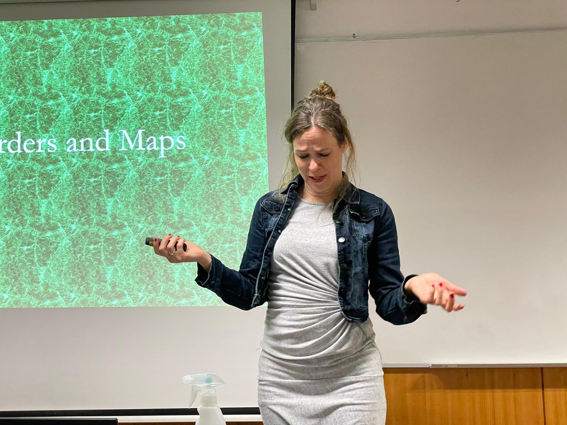
Changing Borders between Land and Water in Early Modern Dutch Imagination
Djoeke van Netten – 17 March 2022
Land and sea – it seems a fundamental dichotomy since the third day of Creation. But where is the border between land and water, what does it consist of, and how did it change over time? This project provides a historical perspective to shifting coastlines and the way people shape, and are shaped by, the landscape and the seascape. It examines how people mapped the fluid borders between land and water on paper and how such representations were used to understand the past and to devise the future. We explore and explain the interplay between the constantly changing landscape, the static map, and human imagination. In doing so, the project integrates recent developments in border studies, cartography, and early modern history. The Dutch Republic is a pre-eminent case to test the innovative, interdisciplinary approach. Situated at, or below, sea level, the 17th-century Netherlands were dependent, defined and understood in their relationship to the sea. In the same period, Amsterdam became the world centre of information exchange and printing, with a key role for geography, where a new global worldview was created and exported. To uncover relationships between land/seascapes, humans, and maps, this project applies multiple perspectives: from above (world maps), from the sea (navigational charts and sailing directions), from the lands (opposites: reclaiming land (poldering) – inundations as means of military strategy). And finally a user perspective: how did these maps function in practice? Thus, this project includes a whole new border into border studies, redefines maps and map use, and foregrounds human imagination in environmental history.
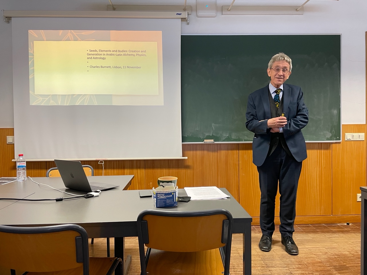
Seeds, Elements and Bodies: Creation and Generation in Arabic-Latin Physics, Astrology and Alchemy
Charles Burnett – 11 November 2021
This workshop addresses the differences and similarities of the concepts of elements and generation, as well as its transmission in Arabic and Latin source texts of three main sciences of the premodern world: Alchemy, Physics and Astrology.
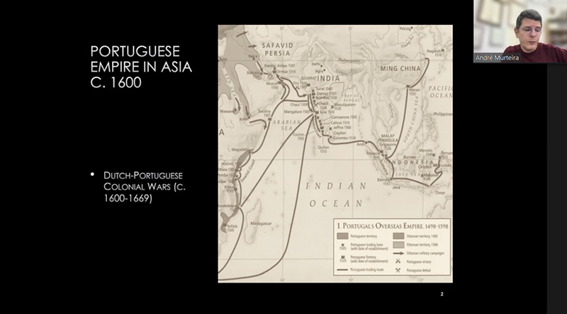
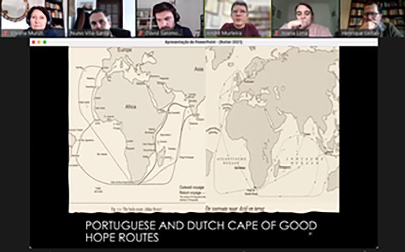
Warships from Europe to Asia – Shipping logistics in the Dutch-Portuguese war in Asia in the 17th century
André Murteira – 26 February 2021
This talk will focus on the shipping logistics of the naval warfare in Asia between the Portuguese and the Dutch East India Company (VOC) in Asia in the 17th Century. While it was a conflict carried out mostly in Asian waters, most of the full-rigged round ships employed by both sides were built in Europe and sent to the East by way of the Cape of Good Hope route. Both sides were therefore heavily dependent on the supply of shipping from the Atlantic. The Dutch company was much more successful at this massive transfer of naval resources from the Atlantic to Asia, making it the best-armed side in terms of full-rigged round ships. As a consequence, from a certain point on the simple imbalance of naval resources between the Portuguese Estado da Índia and the VOC was enough to determine alone the outcome of the conflict. I propose to look at the roots of this difference by relating them to the problems that afflicted the shipping of the Portuguese route to Asia (the Carreira da Índia) in the period.
Understanding the rise and fall of the Portuguese economy, 1300-1900
Nuno Palma – 3 July 2020
By the second half of the nineteenth century, Portugal was the poorest country of Western Europe. Yet as late as 1750, Portugal’s income per capita was at normal European levels. What explains the long-run trajectory of the Portuguese economy since the Middle Ages? Why did Portugal grow when it did, and why did it decline when it did? And in particular, what explains the two centuries of Portuguese decline relative to other European countries which lasted approximately from the mid eighteenth to the mid twentieth century? In this talk, based on recent research on these matters, I will propose an institutional explanation for Portugal’s backwardness, and an exploration of its root causes. I will argue that several of the explanations which have been proposed in the literature do not work: the evidence we now have rejects them. I will then discuss alternative explanations, and finally, one dimension of why the conditions became right in the first half of the twentieth century for Portugal to enter modern economic growth.
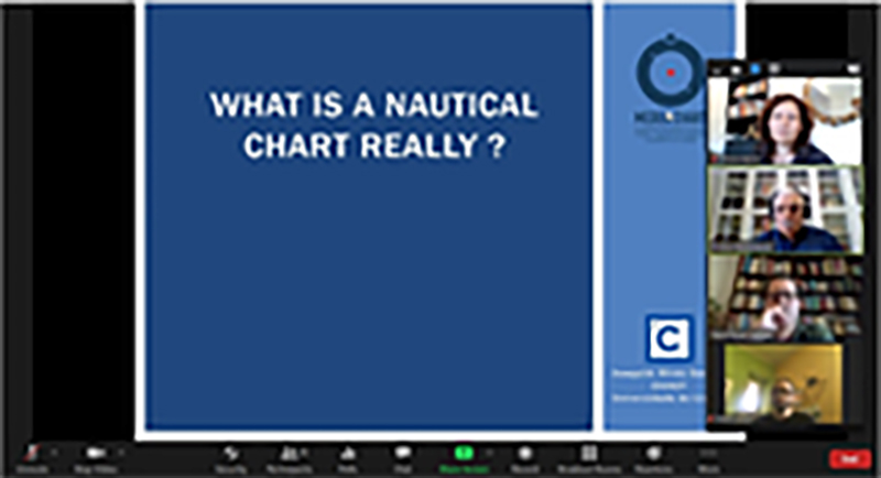
What is a nautical chart really?
Joaquim Gaspar – 19 June 2020
The pre-Mercator nautical chart is an amazing artefact of unexpected complexity. Not because its construction relied on sophisticated methods but, on the contrary, owing to the limitations imposed by contemporary navigation, which prevented the adoption of the cartographic paradigms prescribed by Ptolemy on his Geography – that is – the use of latitudes and longitudes in chart making. Those limitations were the impossibility of determining longitude on board and the errors caused by the uncorrected magnetic declination on the directions measured with the marine compass and transferred to the charts. In this talk the geometry of the medieval and early modern nautical chart is described. The concepts of internal and external geometry of the charts are introduced, which help to better identify the distortions affecting them and how the contemporary navigators dealt of the problem.
In between marine environmental history and the history of natural history: Peoples and manatees in the early modern Atlantic
Cristina Brito – 20 February 2020
Manatees were amongst the most valued aquatic megafauna by European explorers of the Atlantic in the early modern period. Along the west coast of Africa, the Portuguese America or the Caribbean Seas, these aquatic animals and their products were perceived by Europeans as important resources for the subsistence of the first colonies, food supply and commercial commodities. Their appropriation, as all the natural environments and resources, was dependent on knowledge – either European and travelling along transatlantic routes, or traditional and acquired from local expertise and labour. Manatees were, at first, completely unknown to and had never been exploited by Europeans; also known as sea-cows, fish-woman or fish-ox, they were mostly seen and described as large herbivorous that provide meat and fat. On the other hand, coastal pre-expansion indigenous communities knew these animals’ occurrence and behaviours as well as of their value. Their knowledge relying on the species’ meat, bones and skin traditional uses was appropriated and used by settlers and navigators. At the same time, specimens, drawings, descriptions and many other details about these and other aquatic animals, were collected enriching the tomes of European natural history and philosophy. With my current research I intend to highlight the early modern exploitation and appropriation of marine living resources and the construction of knowledge by Europeans, based on documentary and iconographic sources, in a story where the agents are equally peoples and the animals. I use methods both from marine environmental history and history of natural history as plural approaches to address past relationships of humans with the rest of the natural world.

Location, synchronisation, and the emergence of the Western global in XVI C
Luis Lobo-Guerrero – 12 February 2020
During the long XVI C, in the context of the Western exploration and intervention in vast parts of the world, imperial spaces of global governance were established for the first time. These were not single phenomena or processes, but the connection of multiple events where economies, cultures, and belief systems interacted involving complex agencies, multiple traditions of knowledge, forms of expertise and organization, improvisation, and a great amount of resourcefulness and creativity. Key to understanding the creation of these imperial global spaces, and the connectivity out of which they emerged, is the problem of location, which can be explored by investigating the epistemologies of space and time in specific particular empirical settings.
This seminar is part of a wider project that seeks to understand the conditions under whicha particular idea of imperial globality emerged in the early XVI C. in relation to the trips and practices of discovery of the ‘New World’. Drawing on the ‘Spanish’ experience, it focuses on the problem of geographic location, with its spatial and temporal dimensions, as an epistemological problem from which to explore the creation of the spaces of governance that resulted from the Age of Discovery. In so doing, the project seeks to understand the epistemological terms upon which a particular form of imperial connectivity became possible in the form of stable global trade routes in the XVI C.
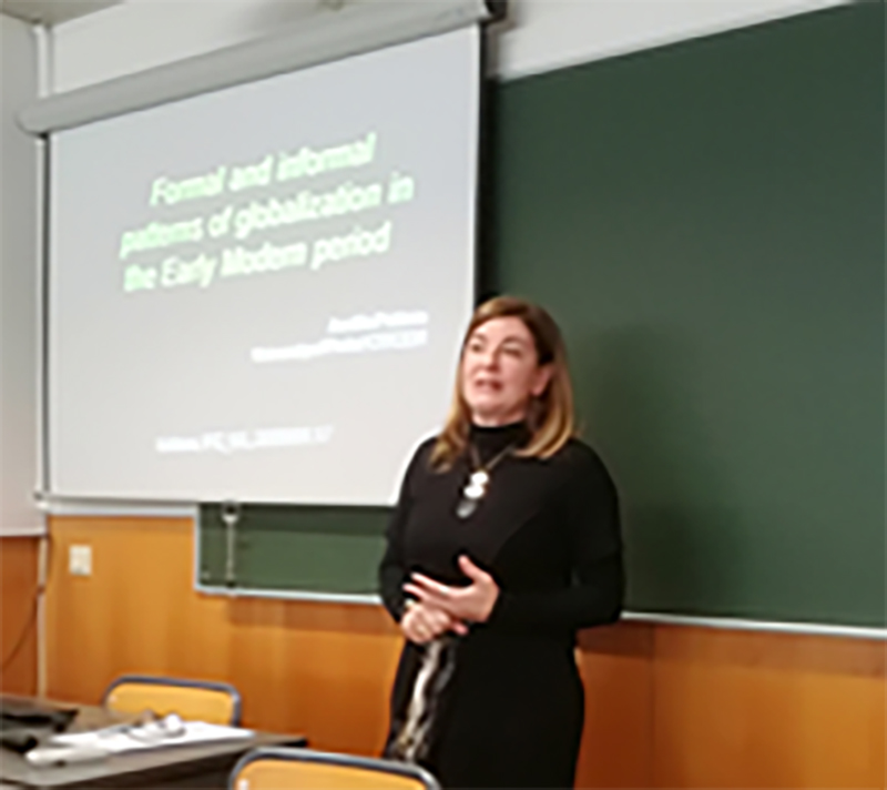
Formal and informal patterns of globalization in the Early Modern period
Amélia Polónia – 17 January 2019
The talk aims at offering an overview of some recent individual and team research’ results, focused on the analysis of European, mostly Portuguese Overseas Expansion. It presents cooperation and self-organisation as global patterns taken as essential to the building, sustainability and collapse of European colonial empires in the Early Modern Period. Finally, it aims at giving a glimpse on the role of individuals and informal networks in the building of a global world in the Early Modern Period, according to a bottom-up approach.

A Suma Oriental de Tomé Pires: problemas de edição e de interpretação de uma fonte quinhentista
Rui Loureiro – 19 December 2019
O boticário Tomé Pires é conhecido como autor da “Suma Oriental” (c. 1516), a primeira geografia global da Ásia produzida depois do descobrimento do caminho marítimo para a Índia. Trata-se de uma obra revolucionário, em termos de conhecimento europeu do mundo asiático, mas que na época ficou manuscrita, e só circulou em meios muito restritos ligados à Coroa lusitana, até ser parcialmente impressa em versão italiana por Giovanni Battista Ramusio (Veneza, 1550). A versão integral da obra apenas apareceria a público em 1944, numa edição da responsabilidade do historiador Armando Cortesão (Londres, 1944)., que redescobriu o manuscrito numa biblioteca parisiense. Esta edição inglesa conheceria uma versão portuguesa mais de trinta anos depois (Coimbra, 1978). Mais recentemente, surgiu uma outra edição da “Suma Oriental” (Lisboa, 2017), que poderá suscitar um renovado estudo deste verdadeiro clássico da literatura geográfica portuguesa. O presente seminário abordará, sucessivamente: o percurso vivencial de Tomé Pires, desde Lisboa até à China; a redacção da “Suma Oriental”, o respectivo conteúdo, e as fontes de informação utilizadas; a circulação do manuscrito; a versão italiana impressa; a história editorial moderna; e os problemas levantados por uma edição crítica. Pretende-se utilizar a “Suma Oriental” como paradigma da produção, circulação e edição de uma fonte portuguesa quinhentista.
Condicionalismos geofísicos dos oceanos e história da navegação
J. M. Malhão Pereira – 8 November 2019
A navegação marítima foi inicialmente levada a cabo em navios de remo, de vela e remo, ou exclusivamente à vela. Sendo executada ao longo ou na proximidade das costas de ilhas ou de continentes, os seus tripulantes só por pequenos períodos perdiam a terra de vista. Contudo, a partir do século XV, no Atlântico, deu-se início a uma das ações com mais significativos reflexos na história da humanidade, a navegação de alto-mar. Para se concretizar este tipo de navegação, foi fundamental o estudo das condições físicas dos oceanos, nomeadamente o seu regime de ventos e de correntes. Tendo em atenção o exposto acimo, pretende-se neste breve seminário, não só descrever a distribuição dos ventos à superfície do globo e o seu caráter permanente ou periódico, mas também o comportamento dos navios, que exclusivamente à vela iniciaram o contacto, pela eficiente via marítima, de todos os povos da terra.